







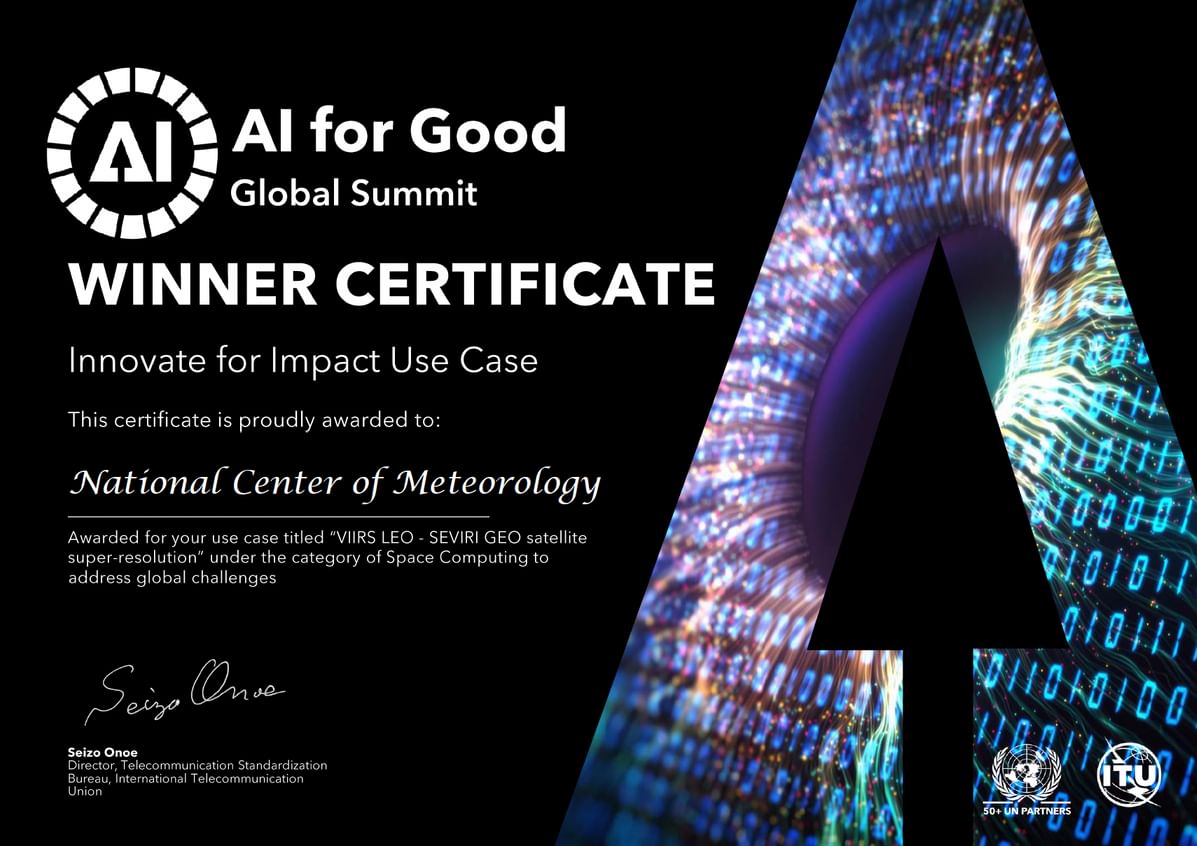

National Center of Meteorology Wins “Best Impactful Use Case” for VIIRS LEO–SEVIRI GEO Satellite Technique
The National Center of Meteorology of the United Arab Emirates earned the “Best Impactful Use Case” award at the AI for Good Global Summit organized by the International Telecommunication Union in Geneva, recognizing a novel VIIRS LEO–SEVIRI GEO approach to improving satellite imagery accuracy. The recognition highlights a new operational capability that combines geostationary and low-Earth-orbit satellite data to deliver higher-resolution images every 15 minutes for meteorological services.
The award-winning effort stems from a research project funded through the UAE Research Program for Rain Enhancement Science, led by Professor Daniel Rosenfeld of the Hebrew University of Jerusalem and carried out with Mohamed bin Zayed University for Artificial Intelligence. Officials said the work translates advanced AI methods into operational weather monitoring and forecasting tools that can better support nowcasting and decision-making.
How the VIIRS LEO–SEVIRI GEO Technique Works
The VIIRS LEO–SEVIRI GEO technique fuses frequent updates from geostationary satellites with the finer spatial detail available from low-Earth-orbit (LEO) sensors. Therefore, meteorologists can access imagery that preserves both temporal cadence and spatial resolution, narrowing a longstanding gap in satellite remote sensing. The model produces enhanced images roughly every 15 minutes, meeting the cadence demands of near-real-time operations.
According to project documentation and official statements, the research team trained a machine learning model on about 8,000 paired satellite image samples to learn mappings between high-detail LEO observations and frequent geostationary scans. Furthermore, the approach applies modern deep-learning techniques to correct artifacts and increase spatial fidelity while retaining the speed required for operational forecasting.
Research Origins and Collaboration
The technique is rooted in a grant-funded project titled “Determining the Microphysical Suitability of Practical Cloud Seeding,” awarded under the fifth cycle of the UAE Research Program for Rain Enhancement Science. The project is led by Professor Daniel Rosenfeld, with contributions from research teams at Mohamed bin Zayed University for Artificial Intelligence and the National Center of Meteorology. Officials said the collaboration illustrates the program’s emphasis on transitioning scientific findings into applied tools for weather services.
Project leads described the work as an example of interdisciplinary cooperation involving atmospheric science, satellite remote sensing, and machine learning. Additionally, the research benefited from access to multiple satellite platforms and operational expertise from meteorological services, enabling a practical development pathway rather than purely theoretical study.
Operational Benefits for Meteorology and Nowcasting
Improved satellite imagery directly supports nowcasting, short-term forecasting, and operational decision-making for sectors that depend on accurate, timely weather information. By applying the VIIRS LEO–SEVIRI GEO fusion method, forecasters can identify convective development, track cloud evolution, and detect small-scale features that may be missed by geostationary sensors alone. Therefore, services such as aviation meteorology, emergency management, and cloud seeding operations stand to gain immediate benefits.
Officials at the National Center of Meteorology emphasized that the development raises overall preparedness for changing weather and climate challenges. Furthermore, the approach can be extended to additional satellite channels and products, improving parameters like cloud-top temperature and moisture-related indices used in forecasting models.
Artificial intelligence in meteorology
The project exemplifies the broader trend of using AI in meteorology to enhance observations and model inputs. Machine learning acts as a bridge between high-frequency monitoring and high-resolution detail, solving a central trade-off in satellite remote sensing. Meanwhile, adopting these tools in operational settings requires rigorous testing, validation, and integration into existing workflows, steps that the National Center of Meteorology is preparing to complete.
Validation, Training Data and Technical Details
The model’s training used roughly 8,000 matched image pairs, drawn from coincident overpasses and contemporaneous geostationary scans. Researchers applied supervised learning to teach the system how to transfer spatial detail from LEO sensors into the temporal framework of geostationary imagery. According to project briefings, quality control focused on avoiding spurious artifacts and preserving meteorologically relevant features.
Independent validation and operational trials remain necessary to quantify improvements in forecast skill and decision-support metrics. Nevertheless, early evaluations reported by the research team indicate a measurable enhancement in spatial detail without sacrificing temporal responsiveness. The National Center of Meteorology plans to expand validation across multiple seasons and weather regimes.
Global Recognition and Future Development
The award presented at the AI for Good Global Summit recognizes practical impact and innovation, drawing attention to the role of advanced satellite processing in public-good applications. Dr. Abdullah Al Mandous, Director General of the National Center of Meteorology and President of the World Meteorological Organization, remarked that the honor reflects the center’s research-to-operations pipeline and international partnerships. Officials said it also underscores the UAE’s commitment to investing in science and cross-border collaboration for climate and weather resilience.
Next development phases aim to prepare the system for near-real-time operational use, extend the technique to more satellite channels and products, and integrate outputs into nowcasting suites and cloud seeding decision tools. Therefore, stakeholders should watch for pilot deployments and peer-reviewed assessments over the coming months.
Implications for Satellite Imagery and Climate Services
The VIIRS LEO–SEVIRI GEO advancement points to a broader shift in how meteorological agencies leverage diverse satellite assets. By combining strengths of different platforms through AI-driven fusion, services can extract greater value from existing infrastructure. Furthermore, enhanced imagery supports climate monitoring and short-term extreme-event tracking, enhancing societal readiness and response capabilities.
International forums, including the AI for Good Summit, are increasingly showcasing AI applications that address sustainable development goals. The National Center of Meteorology’s award-winning case highlights a replicable model for other agencies seeking to modernize observational inputs with artificial intelligence and targeted research investment.
In conclusion, the VIIRS LEO–SEVIRI GEO fusion method represents a pragmatic step toward higher-resolution, frequent satellite imagery for operational meteorology. The next expected steps include operational testing, broader validation, and rollout across additional satellite products within the next reporting cycles. Readers should watch for pilot integration results and formal validation studies to assess impacts on forecasting and nowcasting performance.