








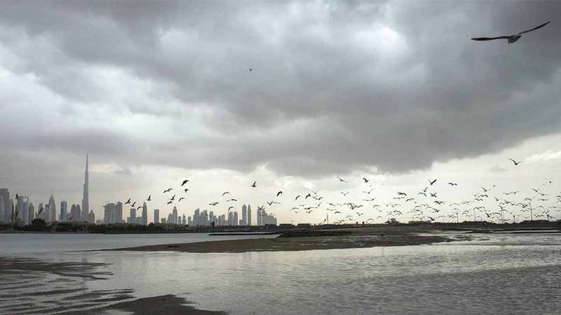

Weather forecast: Saturday through Tuesday — showers and rising temperatures expected
The National Center of Meteorology issued a weather forecast on Saturday indicating mostly clear to partly cloudy skies from Saturday through next Tuesday, with a gradual rise in temperatures and afternoon chances of convective rain in eastern and southern areas. Officials said nights and early mornings will grow increasingly humid along some coastal stretches, with the possibility of fog or light mist.
The advisory covers the Gulf and the Sea of Oman coastal zones and was released ahead of a short-term change in wind patterns that could bring isolated showers. Authorities urged residents to monitor updates as conditions develop through the next four days.
Daily outlook and expected rain chances
Saturday will start mostly clear to partly cloudy, with convective cloud buildup expected over eastern and southern sectors in the afternoon, bringing localized showers. Temperatures are forecast to climb gradually through the day, and the night will become humid across coastal areas, raising the risk of early-morning fog.
On Sunday, the pattern persists with generally fair conditions and afternoon cloud development concentrated in the east, producing isolated downpours in some districts. Rain chances remain highest during late afternoons when convective activity peaks and daytime heating is greatest.
Monday is likely to show similar behaviour: clear to partly cloudy skies with convective clouds forming in the east after midday and a return of coastal humidity overnight. Tuesday again should be mainly clear to partly cloudy with scattered afternoon convective showers possible in eastern zones. These short, localized events are typical of instability-driven systems and are not expected to produce widespread heavy rainfall.
Wind speeds, direction shifts and sea conditions
Winds will be generally light to moderate, shifting between southeasterly and northwesterly directions during the initial period, and turning southeasterly to northeasterly later in the outlook. Gusts may increase at times and reach up to 40 kilometres per hour, officials said, which could reduce visibility in coastal spray and momentarily raise sea chop.
Marine outlook
Sea conditions are forecast to remain slight in both the Gulf and the Sea of Oman for the duration of the short-term outlook. Mariners should note that brief increases in wind speed could produce short, choppy waves close to shore. Small craft operators are advised to exercise routine caution, particularly during late afternoon convective activity when winds can shift and intensify briefly.
Coastal humidity and fog potential
Humidity will rise overnight and into early mornings on Sunday, Monday and Tuesday along some coastal stretches, increasing the likelihood of fog or light mist, particularly in low-lying and sheltered areas. Visibility can drop quickly under these conditions, and travelers should allow extra time for morning commutes if fog forms.
Authorities highlighted that coastal humidity following daytime heating is a common trigger for nocturnal fog formation in the region. Therefore, residents near the coastline should be prepared for damp overnight conditions and lighter morning temperatures than daytime highs suggest.
Impacts and preparedness guidance
The short-term weather forecast suggests only isolated showers and limited disruption, but localized downpours may produce temporary poor visibility and brief surface runoff in low-lying urban locations. Drivers should reduce speed in heavy rain and avoid salt flats and places prone to ponding.
Outdoor event planners and agricultural operators may wish to monitor timing for afternoon convective activity, as localized showers could affect open-air operations. Fishermen and small-boat users should check the latest updates before heading out to sea and consider shortening trips when gusts approach advisory levels.
Context and seasonal note
Such short-lived convective showers and overnight coastal humidity are consistent with transitional seasonal patterns, when daytime heating and maritime moisture interact to produce isolated cloud buildups. According to the National Center of Meteorology, this sequence does not indicate a major system but reflects localized instability typical for this time of year.
Longer-range models will be needed to determine whether this pattern evolves into a more sustained wet spell. For now, forecasters emphasize spotty afternoon rainfall and enhanced coastal humidity as the primary concerns for the coming days.
What to watch next
Residents should monitor official updates from the National Center of Meteorology and local authorities for any changes to the outlook. The next 48–72 hours are the most important for assessing whether convective development will intensify or remain isolated.
In summary, the weather forecast calls for mainly clear to partly cloudy skies with afternoon convective showers in eastern and southern areas, a gradual rise in temperatures, breezy intervals up to 40 km/h, and the potential for coastal fog overnight. Watch for updated advisories and short-term warnings through Tuesday as conditions evolve.