








Forecast of Heavy Rainfall Across Several Regions
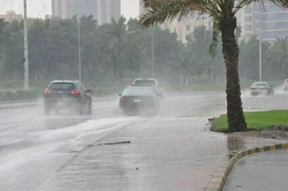
The National Center of Meteorology has issued a weather report predicting moderate to heavy thunderstorms today, which may result in flash floods. These storms are expected to be accompanied by hail and active winds that can stir up dust and reduce visibility in parts of Jazan, Aseer, Al-Baha, Makkah, as well as Hail, Al-Jawf, and the Northern Borders. Lighter rain is anticipated in parts of Madinah, Tabuk, and the Eastern Province, with fog likely forming during nighttime and early morning hours along the coastal regions of Madinah, Makkah, and the Eastern Province.
Weather Conditions and Forecast Details
The report outlines that surface wind patterns across the Red Sea will be predominantly northwesterly to north in the northern part, blowing at speeds of 15-35 km/h. In the central part of the sea, winds will shift to northwesterly and then southerly/westerly at speeds of 15-30 km/h. Winds may exceed 60 km/h when thunderstorms develop. The southern section will experience southeasterly to southwesterly winds also at speeds of 15-30 km/h, with similar gusts possible.
Wave heights are expected to range from half a meter to one and a half meters in the northern part of the Red Sea, while the central region might see waves reaching over two meters. In the southern part, similar wave heights are anticipated, with conditions being mild to moderate, possibly becoming turbulent.
Impacts of Weather on Marine Conditions
The weather forecasts for the Arabian Gulf indicate that northern sections will see southwesterly to southeasterly winds at speeds of 10-25 km/h, capable of exceeding 50 km/h if thunderstorms occur. The southern section will experience northwesterly to northeasterly winds at similar speeds.
The expected wave height in the northern region of the Gulf is forecasted to reach over two meters, while the southern region might also experience comparable heights. These conditions suggest that boaters and fishermen should be mindful of changing weather and sea conditions, particularly when thunderstorm activity is present.
What to Expect Next
In the coming days, the region should expect variations in weather as storm patterns evolve. Residents are encouraged to stay alert for further updates from meteorological services, particularly regarding the development of additional storms or changes in current weather trends.