


Doha is bracing for continued unsettled weather as the Department of Meteorology forecasts cold conditions and a chance of showers through Sunday morning. The weather in Doha is expected to remain chilly with scattered clouds and potential for light rain in some areas, becoming hazy later in the night. Residents and visitors should prepare for possible disruptions due to strong winds and high seas, particularly offshore.
The forecast covers the period until 6:00 AM on Sunday, affecting both inshore and offshore areas. Offshore conditions are predicted to be more severe, with the possibility of thundery rain, especially in the northern regions. The Ministry of Interior has not issued specific warnings, but individuals engaging in maritime activities are advised to exercise caution.
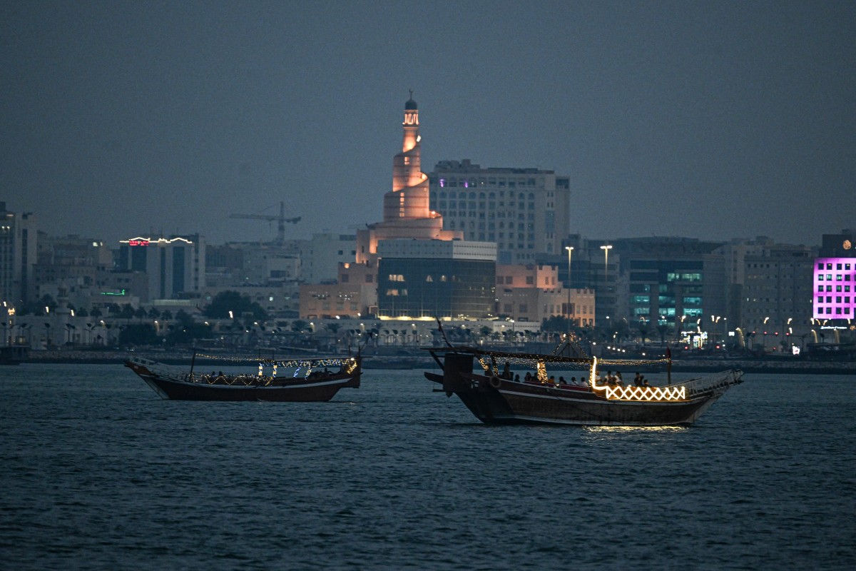
Understanding the Current Doha Weather Pattern
The current cold spell is characteristic of Qatar’s winter season, typically spanning from December to February. However, this period of unsettled conditions has arrived earlier than usual, bringing increased cloud cover and chances of precipitation. The fluctuations in temperature and atmospheric pressure contribute to the development of these rain-bearing systems.
Inshore Conditions This Weekend
Inshore, the wind is expected to be westerly to northwesterly, ranging from 5 to 15 knots. Sea conditions will remain relatively moderate, at 1 to 3 feet, but could surge to 4 feet at times. Visibility will range from 4 to 9 kilometers, potentially decreasing in areas experiencing rain.
Offshore Weather and Safety Concerns
Offshore, the situation is considerably more dynamic. Winds are forecast to be southwesterly to northwesterly at 12 to 22 knots, with gusts potentially reaching 30 knots. This, coupled with the likelihood of thundery rain, will drive sea states to 3 to 7 feet, increasing to as high as 10 feet during storm activity. The Qatar Meteorological Department warns of hazardous conditions for vessels.
Visibility offshore will also be reduced, ranging from 5 to 9 kilometers, but dropping to 3 kilometers or less during periods of heavy, thundery rainfall. This poses significant risks to navigation and maritime operations, increasing the chances of accidents.
Meteorological experts suggest that this unstable weather system is influenced by a Red Sea trough extending across the Arabian Peninsula. These troughs often bring moisture and instability, leading to rainfall and strong wind events. The intensity and duration of the rains are dependent on specific atmospheric interactions.
Secondary keyword: Qatar weather forecast indicates that the unstable conditions are not expected to be long-lasting, shifting to more stable, albeit cool, patterns next week. The current advisory affects various sectors, including transportation, construction, and outdoor events. Authorities have not issued any specific public safety recommendations beyond standard precautions for inclement weather.
Related keyword: Doha rainfall, while not uncommon during winter, has been above average in recent weeks, prompting increased awareness around potential localized flooding. Residents are advised to stay updated on the latest forecasts and avoid unnecessary travel in affected areas.
The Department of Meteorology will continue to monitor the situation closely, providing updates as needed. Further assessments will be conducted throughout Sunday to determine the extent and duration of the evolving conditions. The public should anticipate potential extensions or modifications to the forecast based on ongoing observations.
Looking ahead, the Department of Meteorology anticipates a gradual improvement in the weather in Doha by Monday. However, the persistence of cooler temperatures remains probable. Monitoring for any renewed development of the Red Sea trough will be crucial to refine longer-term forecasts.