

Multiple regions across Saudi Arabia are bracing for significant weather alert conditions in the coming days, as the National Center for Meteorology (NCM) has forecast widespread thunderstorms. The predicted rainfall varies in intensity, ranging from light showers to heavy downpours, accompanied by strong winds and the potential for hazardous conditions. Residents are strongly advised to stay informed and take necessary precautions.
The NCM’s forecast extends across a considerable area of the country, including the northwestern regions, the Red Sea coast, and parts of the southwest. These areas should prepare for potential disruptions due to the expected inclement weather. Keeping up-to-date with the latest forecasts from official sources is crucial for safety.
Severe Thunderstorms and Flash Flood Risks in Saudi Arabia
According to the NCM, the approaching weather system is anticipated to bring thunderstorms with varying degrees of intensity. Light rainfall, defined as 1–4 mm per hour, will likely cause dust and sand to be raised by downdraft winds up to 50 km/h. Moderate rainfall, measuring 5–9 mm per hour, presents additional hazards, including winds reaching 60 km/h, rough coastal waves, and an increased risk of flash floods.
Heavy rainfall, exceeding 10 mm per hour, is the most concerning. This level of precipitation will be accompanied by winds over 60 km/h, significantly heightened flash flood danger, potential hail, and substantial coastal wave activity. The possibility of tornadoes or waterspouts, though localized, cannot be completely ruled out. These conditions create complex challenges for both residents and infrastructure.
Regional Forecasts and Expected Impacts
The NCM has provided detailed regional forecasts. In the Tabuk region, areas such as Duba, Al Wajh, Umluj, and NEOM are likely to experience moderate to heavy rainfall at various times. Northern areas like Al-Qurayyat and Arar in the Northern Borders region may also see significant precipitation on Tuesday.
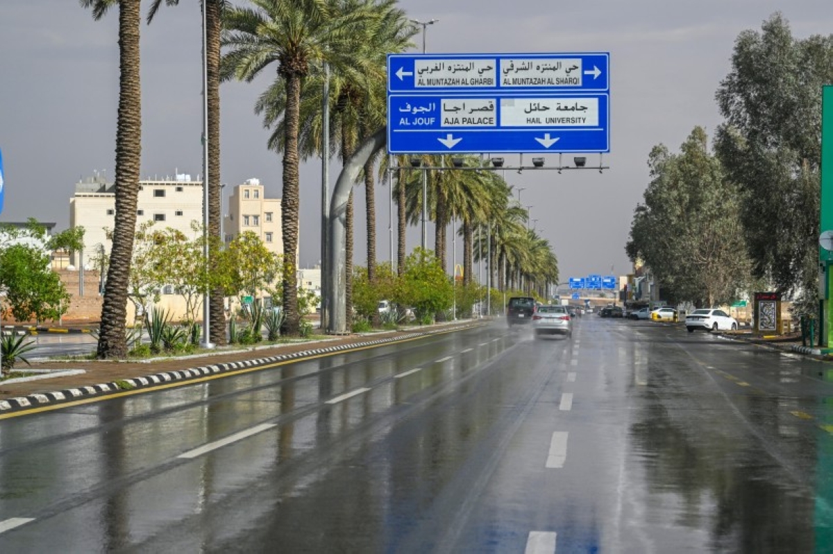
The Madinah region is also under alert, with Yanbu and AlUla potentially receiving moderate to heavy rain. Closer to the city of Madinah, forecasts suggest lighter, but consistent, rainfall. The Makkah region is expected to see a progression of rain, starting with lighter showers in Jeddah and the Holy Capital on Tuesday evening and continuing through Wednesday morning.
Further south, the Asir region is predicted to experience moderate to heavy rainfall from Tuesday through Friday, with Abha and Khamis Mushait anticipated to bear the brunt of the heaviest downpours on Thursday and Friday. Similarly, the Jazan region will initially experience moderate rain on Tuesday, intensifying to heavy rainfall by Thursday and Friday. Hailstorms are also a potential hazard with this system.
Several other localities are also facing risks. Hail and Al-Baha are expected to see moderate to heavy rainfall throughout the forecast period. Areas within the Al-Jouf region, including Sakaka and Dumat Al-Jandal, are also under a moderate to heavy rainfall warning for Tuesday. These areas need to prepare for potential travel disruptions and localized flooding.
The dynamic nature of weather patterns means that the exact timing and location of the heaviest rainfall may shift. Authorities are urging residents to avoid unnecessary outdoor activity during periods of severe weather and to exercise extreme caution when driving. The chance of severe weather necessitates constant vigilance.
Beyond the immediate risks of flooding and strong winds, the NCM advises residents to be aware of potential disruptions to daily life, including power outages and transportation delays. Secure outdoor objects that could be blown away by high winds to minimize the risk of property damage. Updated weather forecasts and warnings can be found on the NCM website and through the “Anwaa” weather application.
Looking ahead, the NCM will continue to monitor the development of this weather system and provide updated forecasts as needed. Residents should remain attentive to official announcements and be prepared to adjust their plans accordingly. The long-term track of the system remains uncertain but the current forecast indicates potentially disruptive conditions through Friday, November 28, 2025.