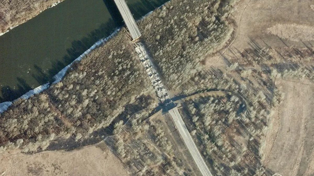
The investigation into possible war crimes in Ukraine has been intensive and has relied significantly on satellite images as potential evidence. European Union Agency for Criminal Justice Cooperation (Eurojust) has indicated that satellite images are increasingly vital in their investigations, which currently have more than 3,000 files linked to potential crimes in Ukraine. Satellite images are utilized alongside other forms of evidence like videos, photographs, audio recordings, witness statements, and victim testimonies in these investigations to provide a comprehensive view of the situation. The use of satellite images is particularly useful in establishing timelines for specific attacks, helping prosecutors assess the type of weapons used and discern targeted strikes from indiscriminate bombing.
Key companies providing satellite images in Ukraine include Planet Labs, Maxar Technologies, and BlackSky. Planet Labs, for instance, has several high-resolution and medium-resolution satellites in low earth orbit that have been instrumental in investigating mass graves and documenting the lead-up to the Russian invasion of Ukraine. Despite the potential benefits of satellite images in investigations, there are still barriers surrounding their access and use. Legal teams may encounter restrictions from bodies like the International Criminal Court (ICC) or NATO, causing delays in the legal process. Furthermore, the interpretation of satellite images can be challenging, especially in cases involving cloud cover, forest, or smoke, which can create discrepancies and misinterpretations.
In Ukraine, war crimes, genocide, or crimes against humanity are typically prosecuted in domestic courts or by international bodies like the ICC. Ukrainian courts are known to mount charges in absentia, where individuals are tried and sentenced without being physically present in court. Eurojust has reported 481 trials conducted against individuals in absentia related to the conflict in Ukraine. At the international level, warrants have been issued for Russian leader Vladimir Putin and other high-ranking officials for alleged war crimes, including unlawful deportation and transfer of children from Ukraine to Russia. These legal proceedings demonstrate the seriousness with which the international community is treating the investigation of potential war crimes in Ukraine.
Satellite images play a crucial role in investigations into potential war crimes in Ukraine by providing key information and strengthening the legal process by supplementing other forms of evidence. Eurojust’s use of these images in investigations highlights their importance in establishing timelines for specific events and verifying details of attacks. Companies like Planet Labs, Maxar Technologies, and BlackSky provide vital satellite imagery for these investigations, aiding in the documentation of evidence related to crimes in Ukraine. Despite some barriers to accessing satellite images, their objectivity and reliability make them valuable tools in the pursuit of justice and accountability for potential war crimes.


