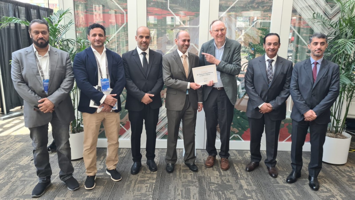
The Ministry of Municipality’s Center for Geographic Information Systems (CGIS) in Doha, Qatar, was recently honored with a special award during the Esri User Conference in California. CGIS Director Eng Manaf Ahmed Al Sada received the award for 35 years of excellence in GIS in Qatar, recognizing the country’s impressive progress in the field over the past three and a half decades. The Ministry highlighted CGIS’s advanced capabilities in collecting and analyzing various types of data, including the establishment of an integrated system for aerial surveys using drones and manned aircraft equipped with cutting-edge technology for mapping land and sea.
Qatar’s distinction in the region lies in having this highly advanced system operated by CGIS specialists, contributing to the country’s global recognition in GIS. The Ministry of Municipality’s significant support plays a vital role in CGIS’s exceptional work and achievements, with the center providing digital geographic databases, updated aerial and satellite imagery, and other services accessible to all government institutions. CGIS ensures the integration of digital data through the National GISNet, linking over 100 governmental departments and serving various sectors within the Ministry of Municipality and beyond.
CGIS has established core databases catering to governmental and private entities, as well as individuals, offering services like the My Address application among others. The Ministry’s ongoing efforts to enhance the capabilities of CGIS and provide valuable resources for different sectors demonstrate Qatar’s commitment to advancing GIS technology. The center’s success in utilizing the latest tools and technology for data collection and analysis has positioned Qatar as a leader in GIS on a global scale.
The Esri User Conference, organized by the Environmental Systems Research Institute (ESRI), is a leading forum for showcasing technological advancements in GIS software, applications, and data usage mechanisms. This year’s conference drew 18,000 representatives from various countries, institutions, and companies, including specialists in artificial intelligence, remote sensing, satellite imagery, and other related fields. The event serves as a crucial platform for sharing knowledge and innovations in GIS technology, enabling professionals to stay updated on the latest trends and developments in the industry.
As a sector leader globally, ESRI plays a pivotal role in promoting advancements in GIS technology and facilitating collaboration among industry professionals. The recognition received by CGIS at the Esri User Conference reflects Qatar’s commitment to excellence in GIS and its significant contributions to the field. By harnessing the power of GIS technology, Qatar is able to enhance decision-making processes, improve resource management, and support sustainable development initiatives across various sectors in the country.
Overall, the Ministry of Municipality’s CGIS’s success at the Esri User Conference highlights Qatar’s dedication to leveraging advanced technology and innovation to drive progress in GIS. The center’s achievements in data collection, analysis, and integration have positioned Qatar as a leader in GIS technology on a global scale, showcasing the country’s commitment to excellence in the field. With ongoing support from relevant authorities and continuous advancements in technology, Qatar is well-positioned to further enhance its capabilities in GIS and continue making significant contributions to the industry.


